
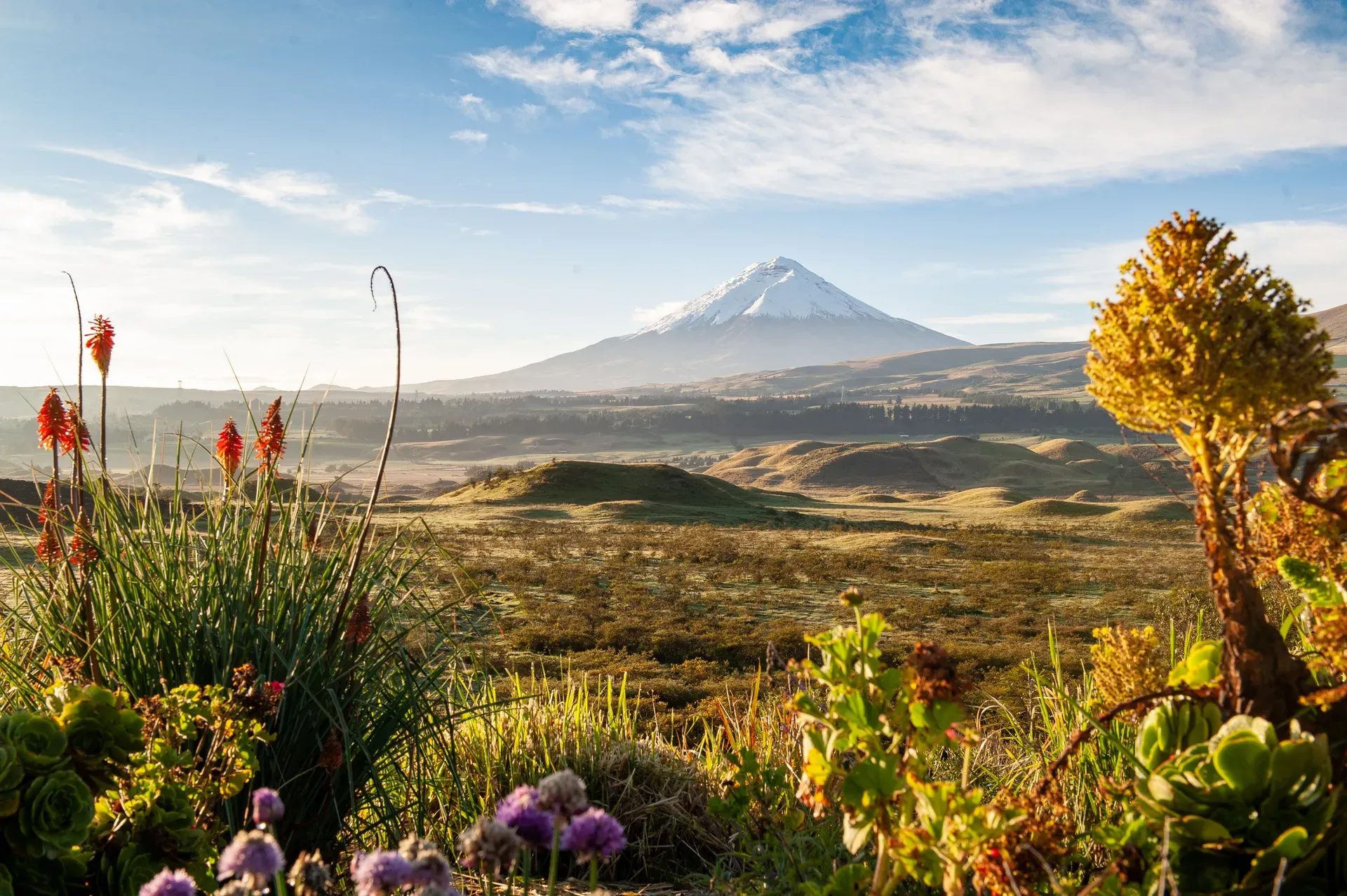
Rising 5,897 meters above the central Ecuadorian Andes, Cotopaxi stands as one of the world's highest active volcanoes. Visitors can hike the steep volcanic scree to the 4,800-meter José Ribas refuge or spot wild horses near the high-altitude Limpiopungo Lagoon.
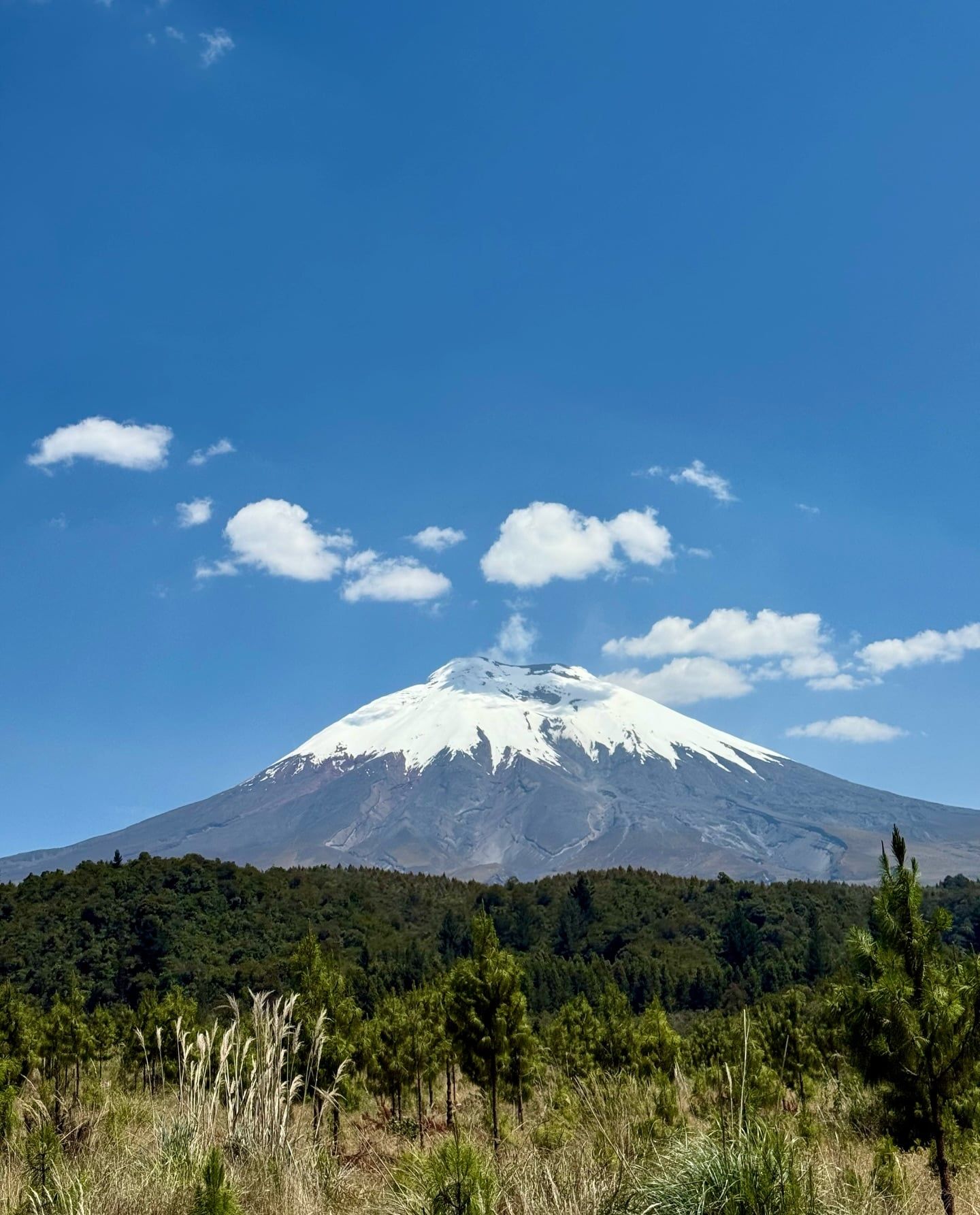
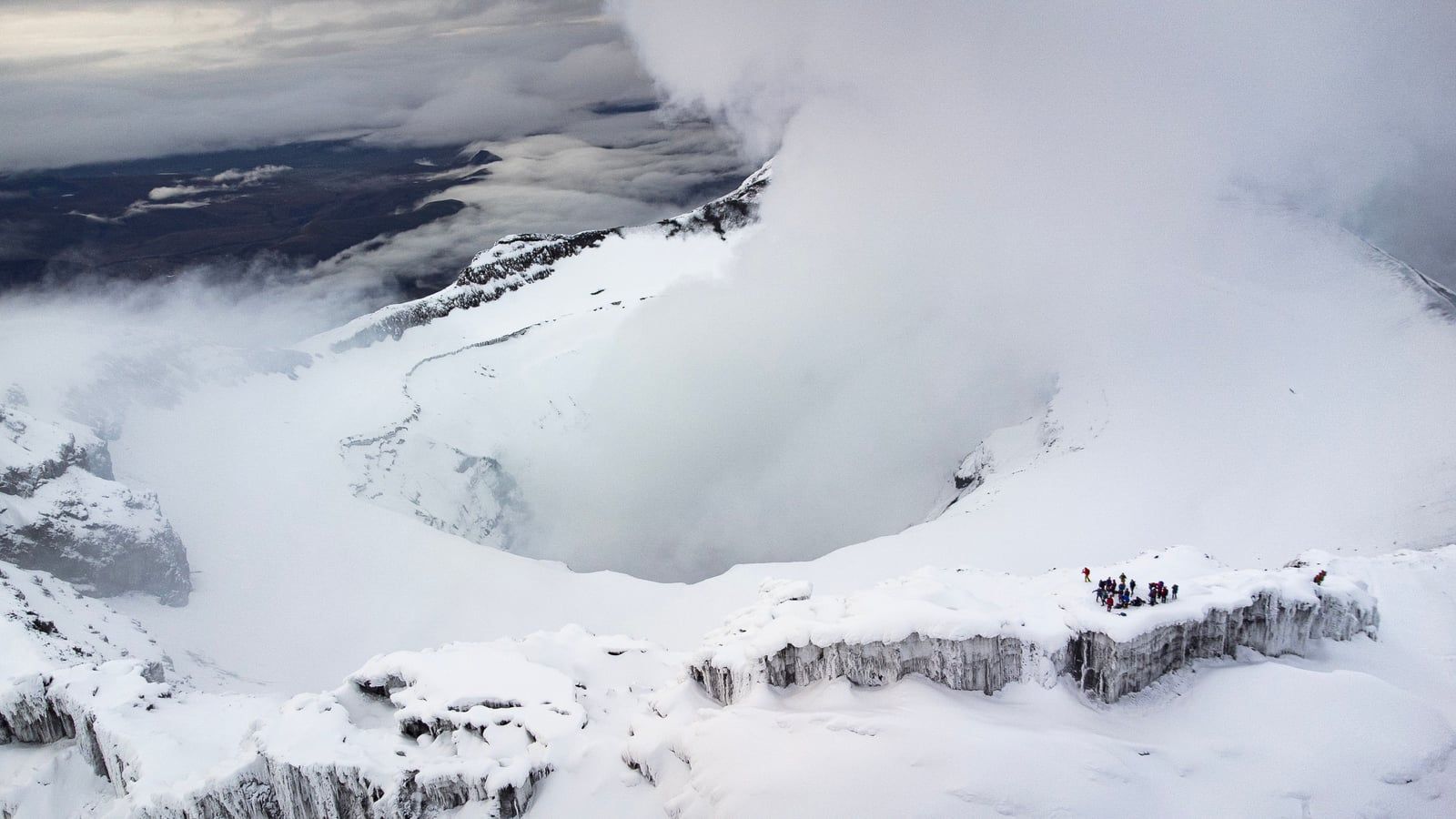
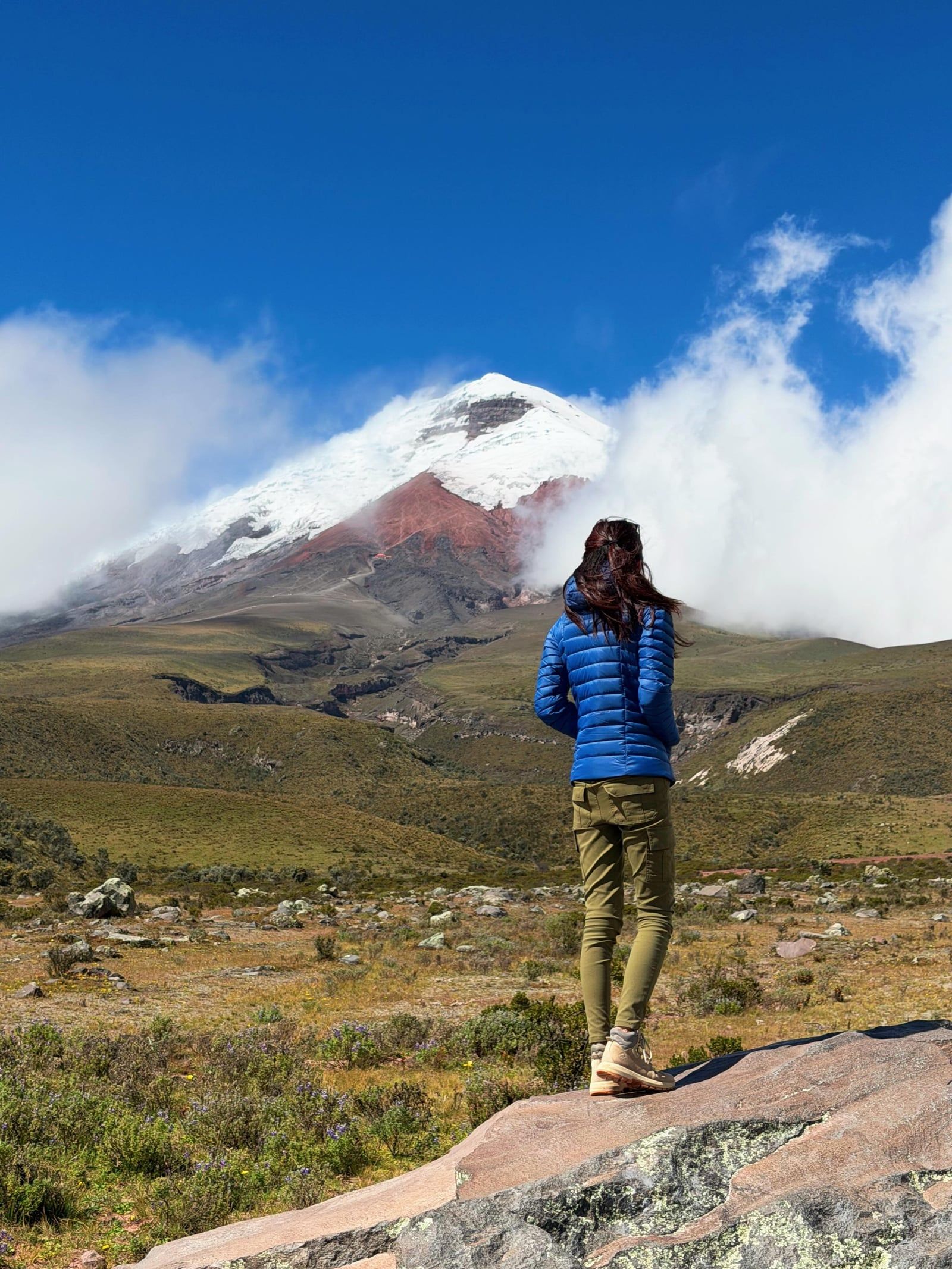
Find Guided ToursCotopaxi is a prominent, active stratovolcano located in the central Ecuadorian Andes, approximately 50 kilometers south of Quito. Rising to an elevation of 5,897 meters (19,347 feet) with a prominence of 2,500 meters, it is the second-highest peak in Ecuador. The mountain is known for its nearly perfect symmetrical cone, which is interrupted only by a minor secondary cone called the Cabeza del Inca, or "Inca's Head." Tropical glaciers cover the upper slopes, beginning at 4,700 meters on the western flank and extending to the summit.
Long before the 15th-century Inca invasion, local Andean populations revered Cotopaxi as a sacred mountain. Indigenous mythology recognized the volcano as a rain sender and a guarantor of land fertility. The summit was believed to be the home of the gods. Today, it ranks as the third-highest active volcano in the world. Because of its proximity to populated areas, it remains one of the most heavily monitored volcanoes globally.
Cotopaxi has a long, violent eruptive record, with 87 known eruptions since the first recorded event in 1534. The most devastating historical eruptions took place in 1742, 1744, 1768, and 1877. During the 1877 eruption, the volcanic heat melted the entire ice cap. This generated massive mudflows, known as lahars, that traveled over 100 kilometers into the Pacific Ocean and the Amazon basin, completely leveling the nearby colonial town of Latacunga in the process.
The volcano's most recent major eruptive period ended in 1904. Minor activity has continued into the modern era, with notable events occurring in 1940, 2015, and 2023 that led to temporary closures of the surrounding national park. Despite these harsh conditions and ongoing risks, climbers have scaled the peak for over a century, following the first successful ascent on November 28, 1872.
Discover the full history and cultural significance on our About page.
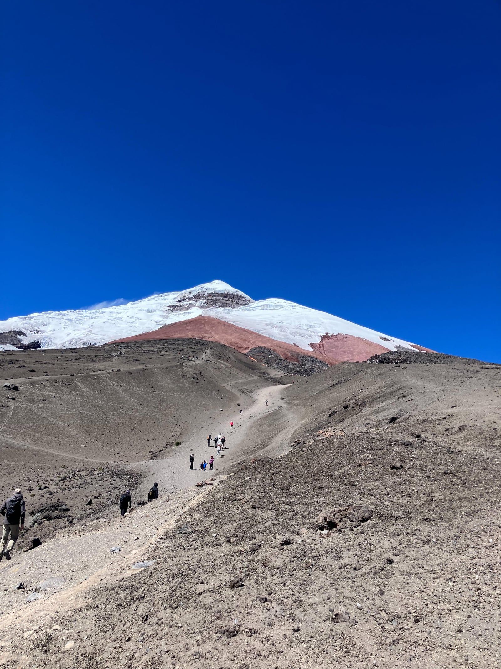
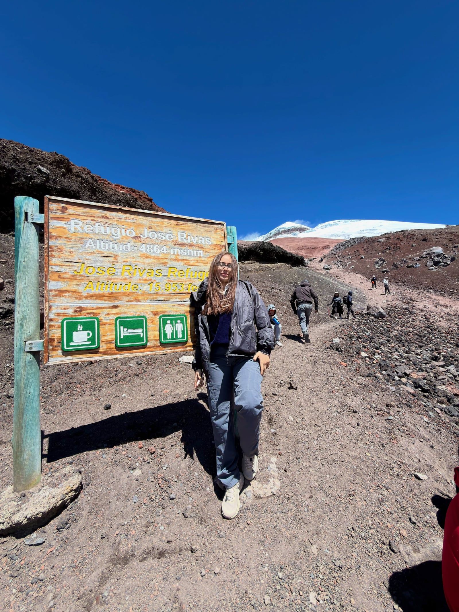
A steep 45-minute trek begins at the 4,600-meter parking lot and crosses red volcanic scree to reach the José Ribas refuge at 4,800 meters. You can rest with hot cocoa here, or push another 45 minutes to the 4,864-meter tropical snowline to examine massive glacial crevasses.
Rent a mountain bike for a rapid descent from the 4,600-meter refuge parking lot down to the park entrance. The route drops sharply through steep volcanic rock before leveling out into rolling green pastures. Keep an eye on the sky to spot Andean condors flying overhead.
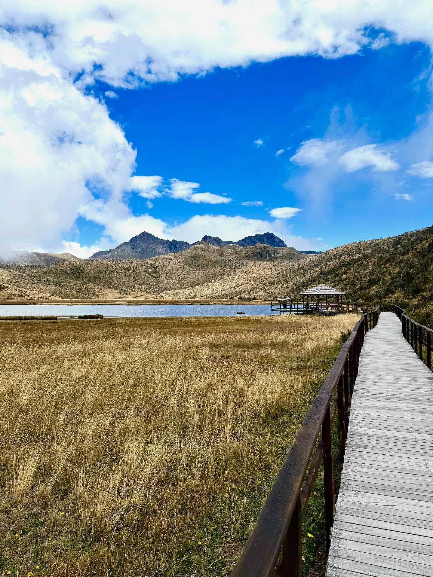
A flat, 2.2-mile trail circles this high-altitude wetland at 3,800 meters. The path provides clear views of Cotopaxi's symmetrical cone reflecting in the water. Wildlife is abundant across the páramo ecosystem, making it easy to spot semi-wild horses, llamas, hummingbirds, and Andean gulls along the route.
The technical ascent to the crater rim demands a midnight start to navigate snow bridges and crevasses safely. Climbers reach the 5,897-meter peak just as the sun rises. From this icy vantage point, the surrounding Andean peaks of Antisana and Chimborazo dominate the horizon.
Hand-picked tours with free cancellation and verified reviews
 Free Cancellation 12h
  Free Cancellation 9h
  Free Cancellation 12h
  Free Cancellation
  Free Cancellation 72h
  Free Cancellation 9h
  Free Cancellation 8h
  Free Cancellation 10h
 The ideal time to visit Cotopaxi is between December and May, with summer offering the safest climbing conditions. Arriving at 8:00 a.m. on a weekday ensures clear views before late morning fog rolls in.
While the park remains open year-round, unpredictable weather persists. Visitors should expect rapid temperature drops and heavy cloud cover, making warm layers essential even at the 3,500-meter park entrance.
These months offer the safest and most manageable conditions for summiting the 5,897-meter peak. With the least amount of wind, climbers face fewer hazards on the high-altitude terrain.
Fall is another highly recommended period to explore the park. Conditions remain suitable for shorter hikes to the 4,800-meter José Ribas refuge or the flat paths around Limpiopungo Lagoon.
The windier months make hiking and climbing highly challenging. Changeable high-Andean weather brings sudden snowstorms, rapid temperature drops, and thick fog that completely obscures the peak by late morning.
The North and South entrance gates are open daily for entry from 8:00 a.m. to 3:00 p.m. Visitors already inside Cotopaxi National Park are permitted to remain until 5:00 p.m. or 6:00 p.m.
| Category | Price |
|---|---|
| General Admission | Free |
While general entry is free, all visitors must present a valid passport or ID to register with a park ranger at the gate. Climbers attempting the 5,897-meter summit must obtain a climbing permit and hire a certified local guide. Local guides with trucks are available at the entrance, offering standard tours at $50 for one person, $25 per person for two people, and $20 per person for groups of three.
For complete schedules and ticket prices, visit our Hours & Fees page.
Visitors can reach Cotopaxi National Park from Quito by traveling approximately 50 kilometers south along the Pan-American Highway. Transport options include public buses, driving a personal vehicle, or hiring local taxi-trucks to access the northern and southern entrances.
📍 Cotopaxi National Park, Central Ecuadorian Andes, Ecuador
Board a southbound bus heading to Latacunga from the Quitumbe Terminal in southern Quito. Ask the driver to stop at the El Chasqui turnoff on the Pan-American Highway, which serves as the South Entrance. From this highway drop-off point, the actual park gate is a 6-kilometer walk or a 10-minute drive. Local taxi-trucks wait at the gate to transport passengers further into the park.
Navigating to the park independently requires driving south from Quito along the Pan-American Highway, also known as Route E35. The route takes one to two hours depending on local traffic conditions. To access the South Entrance, proceed past the town of Machachi. Watch for official signs directing drivers to Cotopaxi National Park just before reaching the village of Lasso.
Accessing the scenic North Entrance requires a two-step transit process starting with a Carlos Brito bus from Quito to Machachi. Once in Machachi, travelers can hire a local taxi-truck for the final 20-kilometer leg. These drivers navigate a cobblestone road passing through Pedregal directly to the northern control booth. This transit method provides a reliable way to reach the northern park boundaries.
For detailed transport options and routes, visit our Directions page.
The park gates open at 8:00 a.m., and arriving early is highly recommended. The 5,897-meter volcano peak is usually visible first thing in the morning. Heavy clouds and thick fog typically obscure the mountain completely by late morning.
Spend at least two to three days in Quito before attempting physical activity in the park. The entrance sits at 3,500 meters, which can trigger acute mountain sickness, extreme fatigue, and nausea. Older travelers should limit exertion to flat paths like the 3,800-meter Limpiopungo Lagoon loop.
High-altitude UV radiation is extremely intense, even on completely cloudy or foggy days. You must apply SPF 50+ sunscreen every two hours and wear protective lip balm. Polarized sunglasses are strictly required to prevent painful sunburns and temporary snow blindness.
Visitors arriving by public bus must carry cash in small bills. After taking a $2 to $10 bus from Quito to the El Chasqui turnoff, you need $15 to $30 to hire a local taxi-truck. Standard tours from the entrance cost $50 for a solo traveler.
The high-Andean climate shifts rapidly from hot sunshine to freezing rain. Pack base layers, a waterproof shell, gloves, and a wool hat. Food options are limited to simple snacks at the 4,800-meter José Ribas refuge, so carry at least two liters of water and your own meals.
Entry to the national park is free, but you must present a valid passport to register with a ranger. Plan your visit for a weekday to avoid long registration lines and congested mountain roads. Leave animals behind, as pets are strictly prohibited inside the conservation refuge.
This emerald-green volcanic crater lake sits within the Cotopaxi Province. Visitors can hike the crater rim, walk down to the water's edge, or view the landscape from the Shalalá lookout point.
This inactive volcano provides a non-technical climb ideal for acclimatization. The challenging 7.1-mile hike features 2,828 feet of elevation gain and rewards hikers with crowd-free views of Cotopaxi's northern face.
Located south of the park, this colonial town has been destroyed and rebuilt three times following Cotopaxi's devastating lahars. It functions as a cultural center featuring historic plazas and local markets.
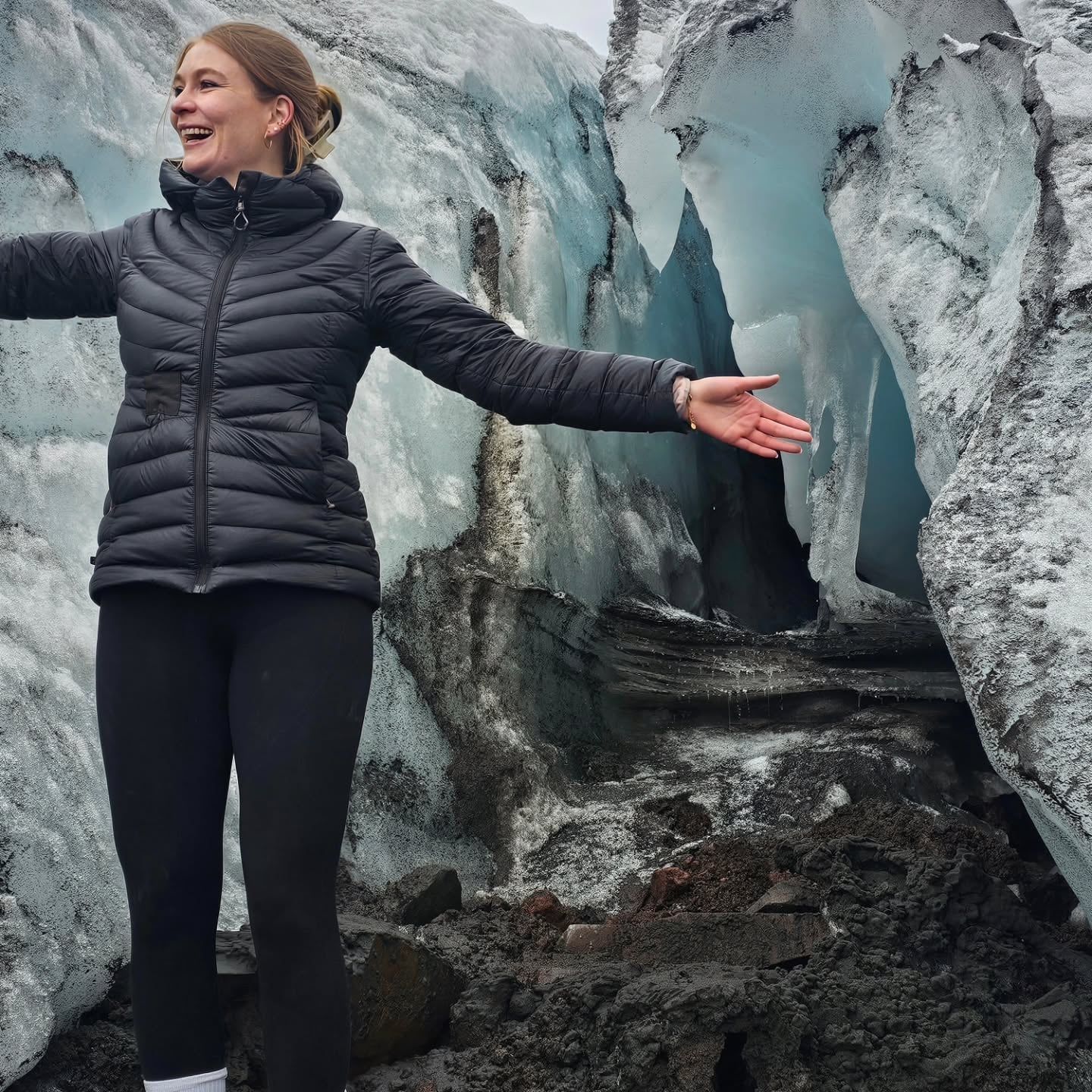
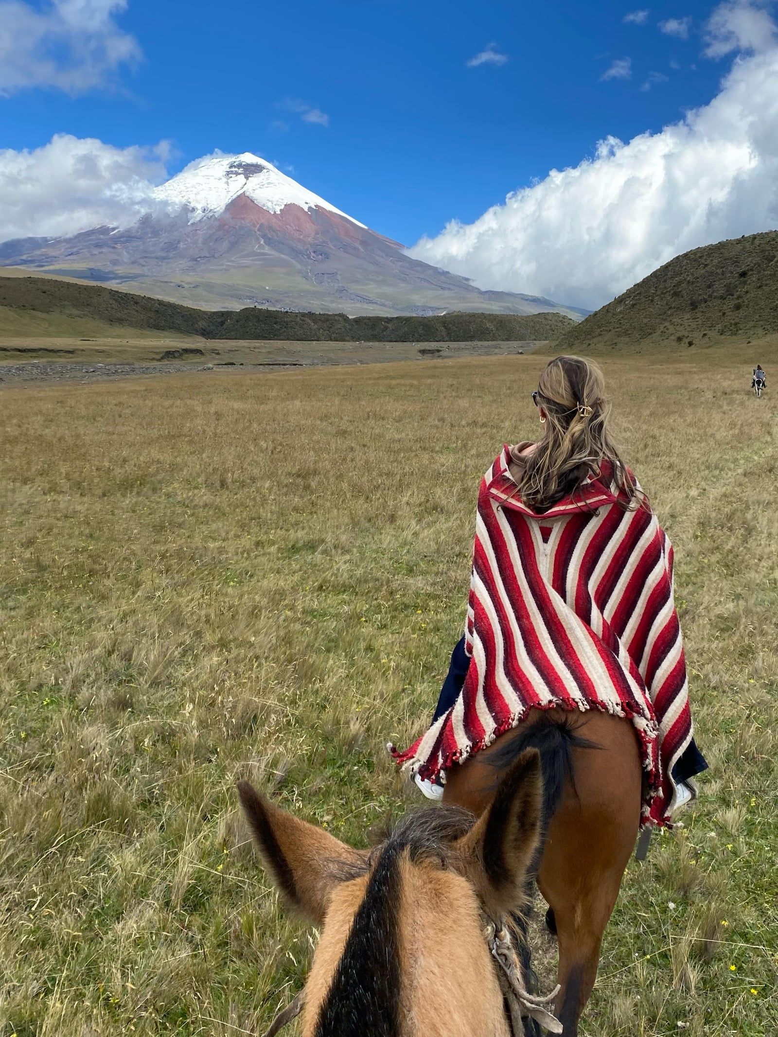
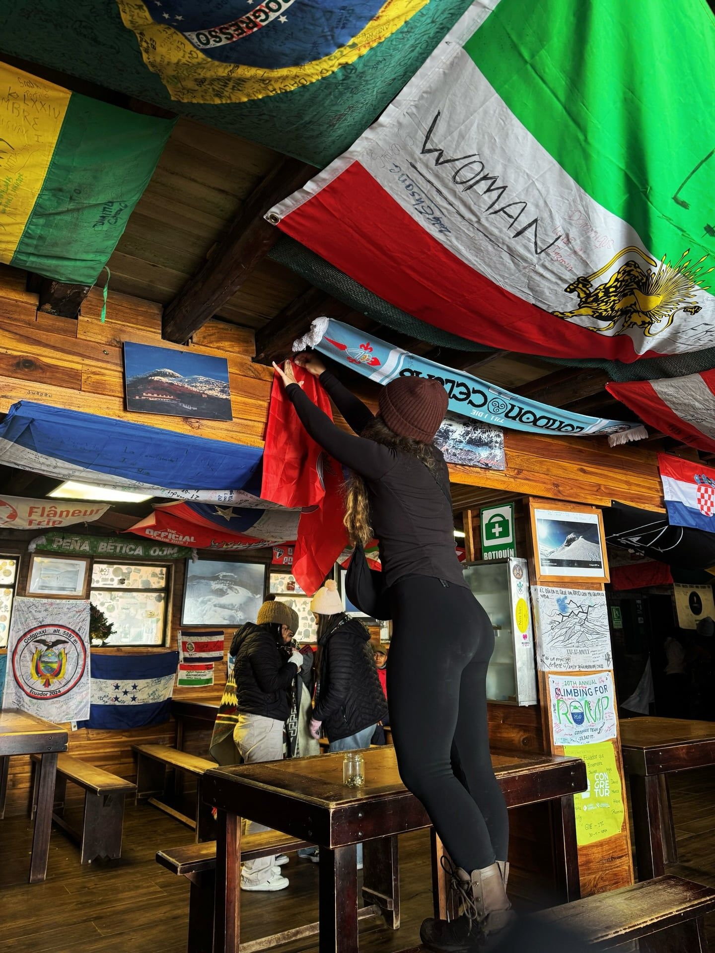
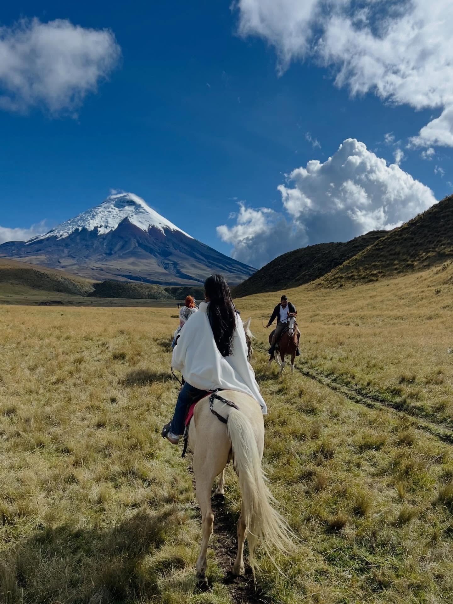
Read what travelers share about their experience visiting Cotopaxi — from practical tips to personal highlights.
Entry to Cotopaxi National Park is completely free of charge. However, all visitors must present a valid passport or ID to register with a park ranger at the entrance gate.
The park gates are open for entry daily from 8:00 a.m. to 3:00 p.m. Visitors already inside the park are allowed to stay until 5:00 p.m. or 6:00 p.m. Arriving right at 8:00 a.m. is highly recommended to view the peak before late morning fog rolls in.
Take a bus heading south toward Latacunga from Quito's Quitumbe Terminal, which takes about 90 minutes and costs between $2.00 and $10.00 USD. Ask the driver to drop you off at the El Chasqui turnoff on the Pan-American Highway, where you can hire a local taxi-truck for $15.00 to $30.00 USD to reach the park interior.
You must wear multiple warm layers, including a fleece, a windproof and waterproof shell, gloves, and sturdy walking boots to handle rapid temperature drops. High-factor sunscreen and polarized sunglasses are strictly required to protect against intense UV radiation at high altitudes, even on cloudy days.
The park offers some accessible facilities, including a museum with ramps that covers regional ecology and volcanology. Specialized wheelchair-accessible vans can be arranged from Quito, but the steep hiking trails and rugged high-altitude terrain remain highly challenging for manual wheelchair users.
You can visit the park independently for basic activities like hiking the 2.2-mile loop around Limpiopungo Lagoon. However, climbers attempting to reach the 5,897-meter summit must obtain a climbing permit through a licensed tour operator and climb with a certified local guide.
Yes, local guides with trucks wait at the entrance gate to offer standard tours. Prices start at $50 for a single person, drop to $25 per person for two people, and cost $20 per person for groups of three.
The most favorable months to visit are December through February and March through May. The summer months of December to February are especially ideal for summit attempts because they bring the least amount of wind, making the climb safer and more manageable.
Browse verified tours with free cancellation and instant confirmation.
Find Tours